Vintage 3D Cartography
Reimagined antique maps
Beyond data
Beyond data
The core principles underlying our vintage map transformations
Restoration
Meticulous digital restoration of damaged and faded historical maps
Accuracy
Precise georeferencing to ensure correct geographical positioning
Quality
Highly detailed printing on museum-quality paper
Types of maps
Types of maps
We work across four distinct expressions of vintage cartography
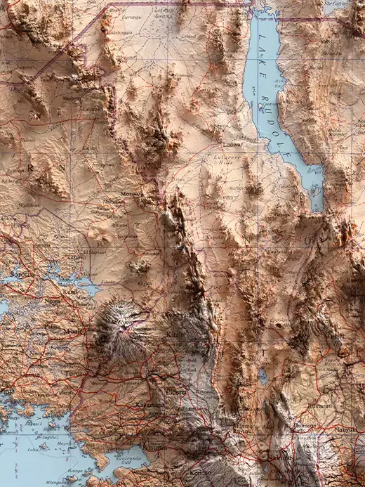
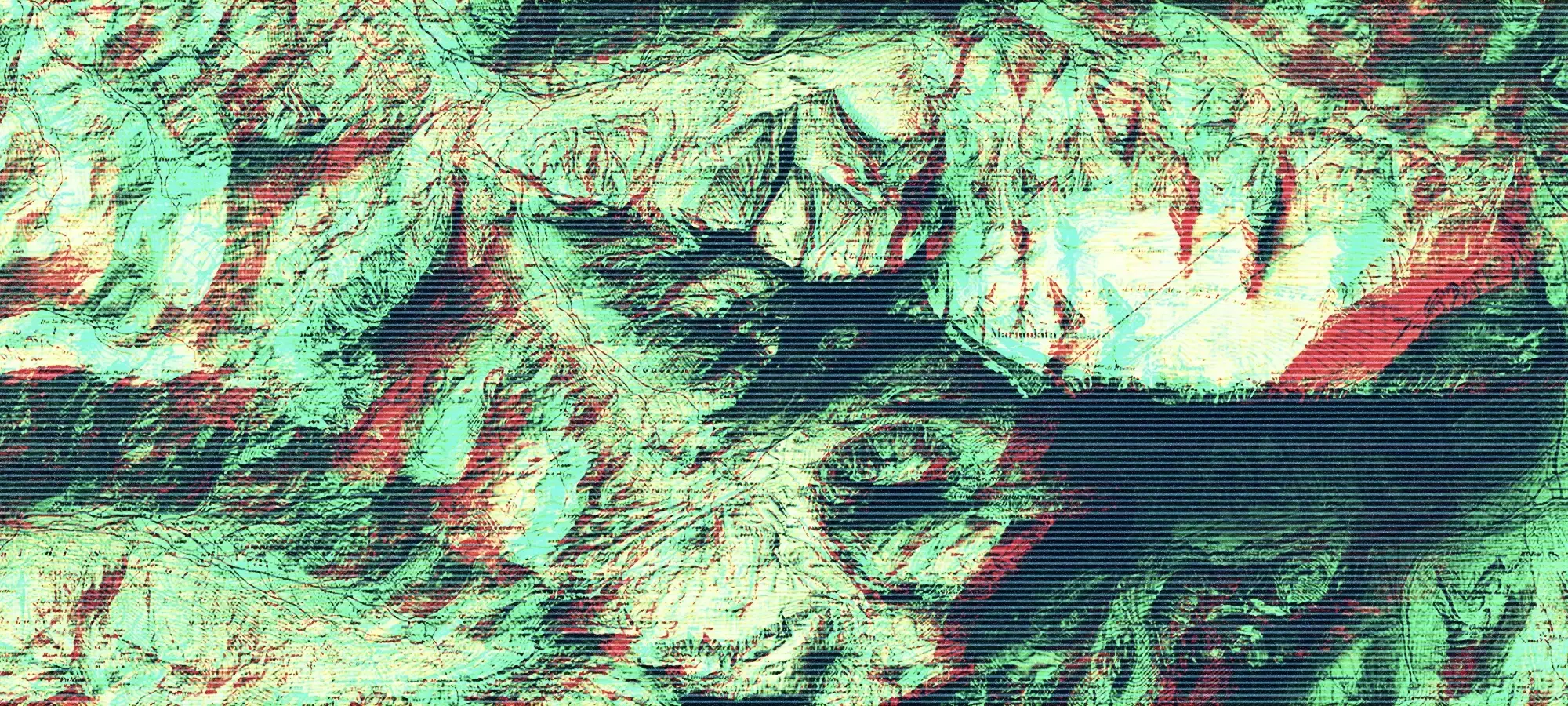
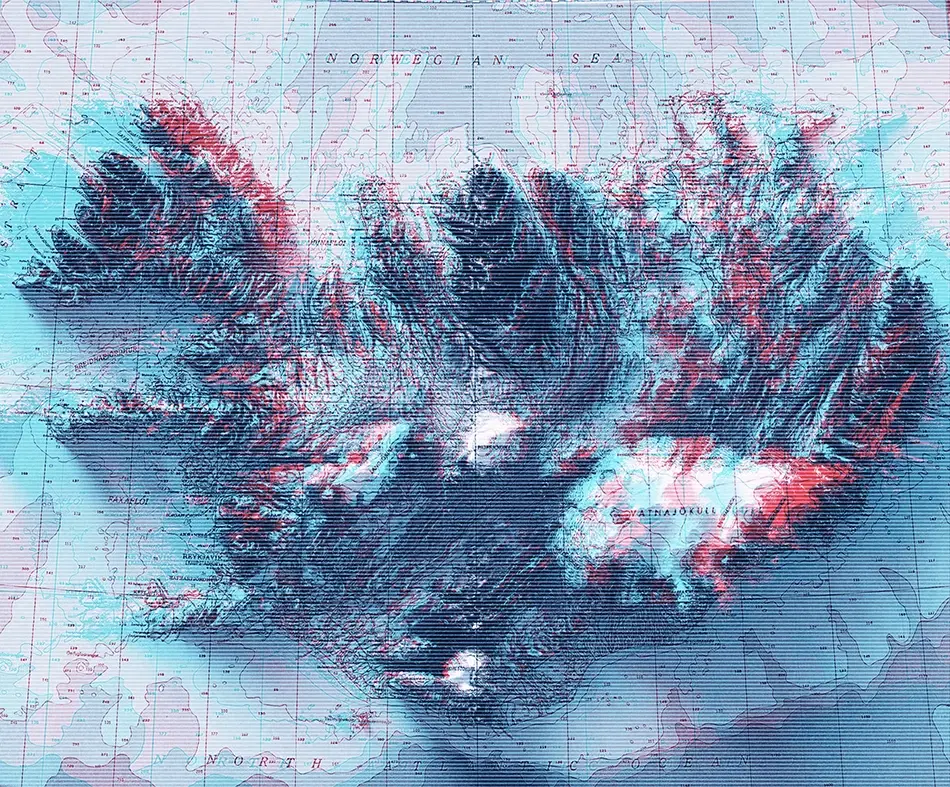
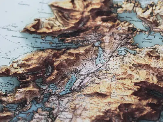
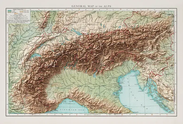
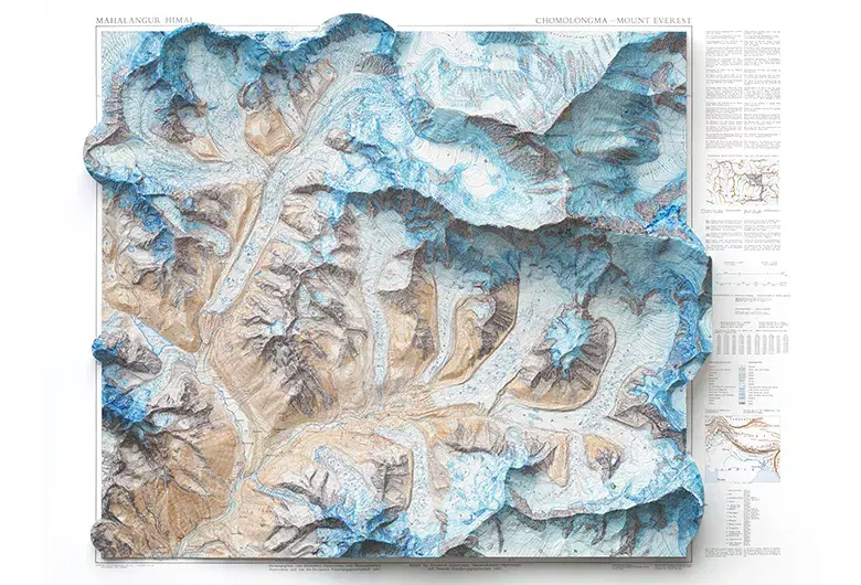
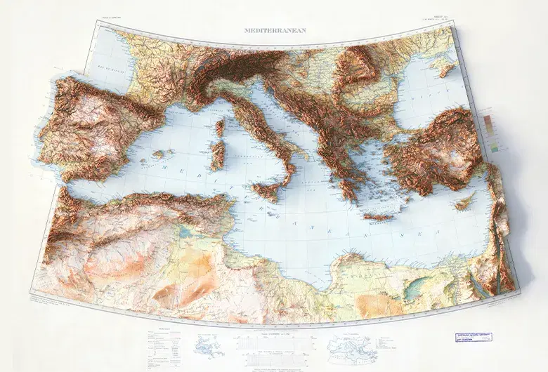
Topographic
Relief-based maps showing terrain elevation and landforms
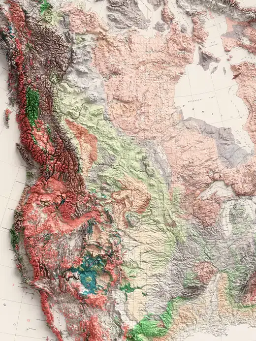
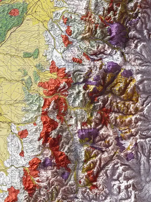
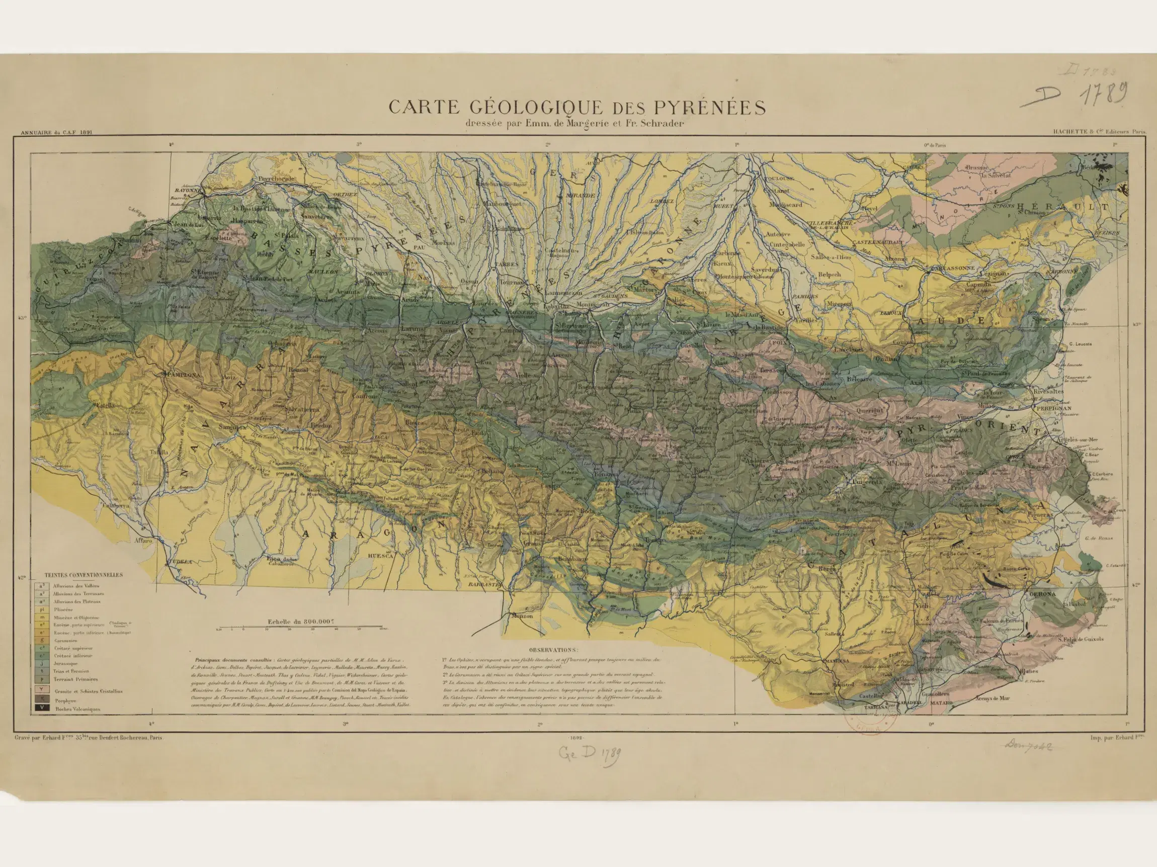
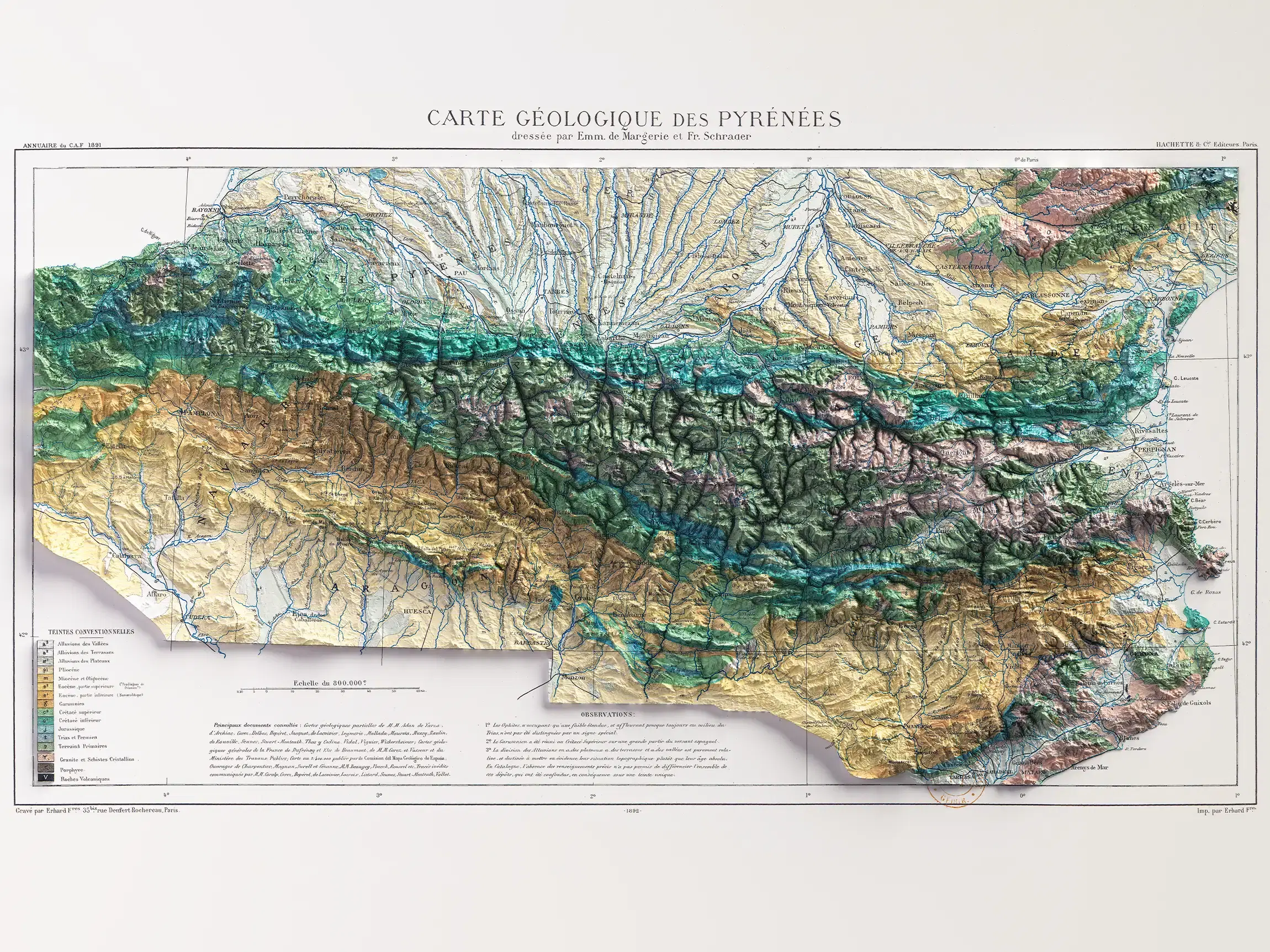
Geological
Maps representing rock types, structures and subsurface layers
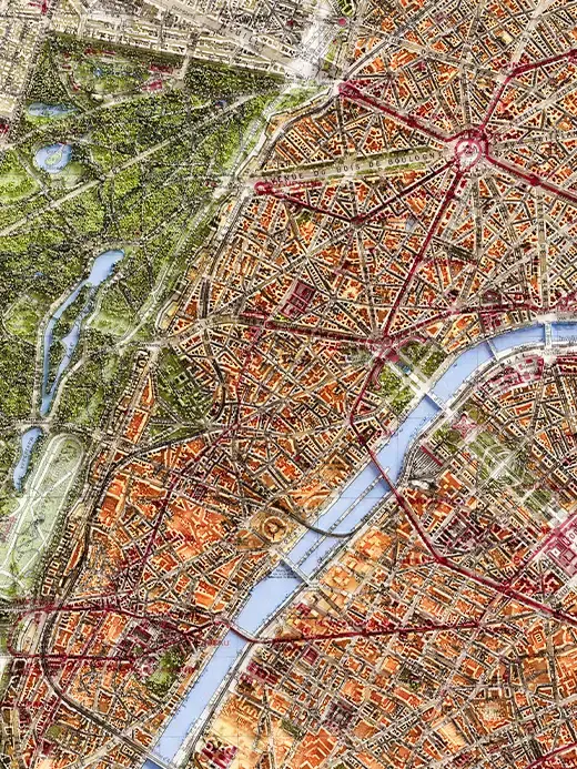
City
Detailed maps of city layouts, streets and built environments
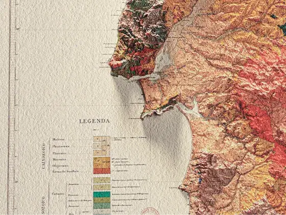
Soil
Maps illustrating types, composition and distribution of soil
Map restoration
Map restoration
Rediscovering historical maps
Our restoration process involves the precise digital repair of tears, stains, fading and other damage caused by time. We preserve the authentic character of the map, making it beautiful and legible once again
Spatial precision
Spatial precision
Precisely georeferenced terrain models
Historical maps often contain geographical distortions due to the surveying techniques of their era. We carefully georeference each map using modern GIS data, correcting positions while maintaining the artistic integrity of the original work
Archival excellence
Archival excellence
Designed to last
Featuring premium papers and museum-grade archival inks, our prints guarantee rich contrasts and color stability over time, making every piece a lasting addition to your space
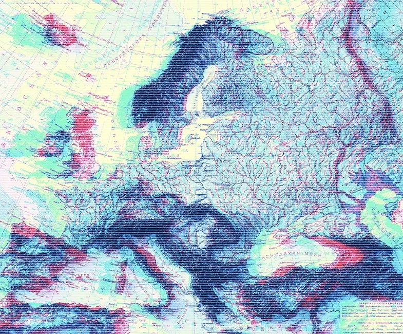
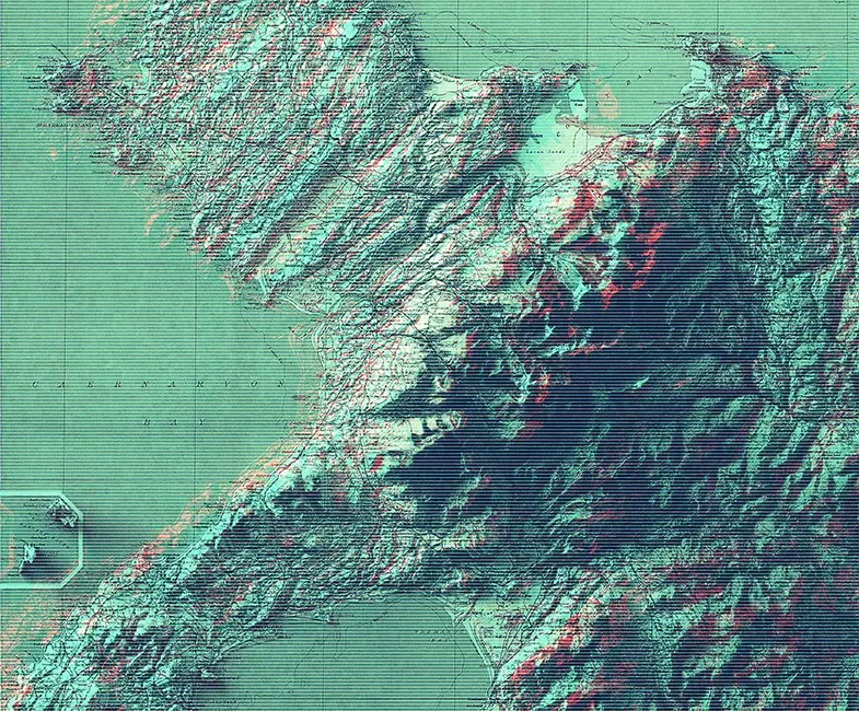
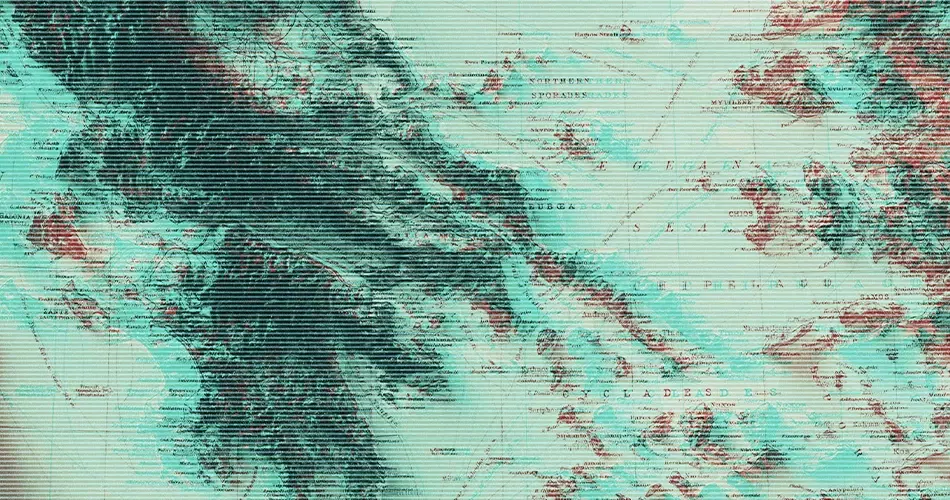
Selected work
Selected work
A curated pick of our finest shaded relief maps
Have a project in mind? We'd love to hear about it. Let's create something exceptional together
hello@vizart.io